Mon - Fri: 9:00 AM - 9:00 PM  |  Sat: 9:00 AM - 1:00 PM

  • High Precision Surveys

    Archimeter

    High Precision Surveys

  • Laser Scanner Surveys
    Laser Scanner Surveys

    In the fields of architecture, archaeology, geology,
    environment, engineering, and naval,
    Scan to B.I.M.

  • Planimetric and Altimetric Surveys
    Planimetric and Altimetric Surveys

    Topographic and cadastral surveys
    Stakeouts, leveling
    Sectioning, quoted plans

  • Virtual Tours
    Virtual Tours

    Tool to support designers
    Enhancement for cultural heritage
    Tourism and commercial promotion

  • Photogrammetry
    Photogrammetry

    Creation of 3D models of objects of various sizes
    Creation of photoplans
    Integration with point clouds from laser scanners

  • 3D Modelling and B.I.M.
    3D Modelling and B.I.M.

    Architectural, structural, and layout modeling
    3D reconstruction of archaeological complexes
    3D rendering for virtual exhibitions

  • Drone Surveys
    Drone Surveys

    Creation from 3D models of ortophotos,
    contour lines, DEM, DTM
    Inspections with photos and videos

Do you need a quote for a project?

Archimeter

About Us

Archimeter S.r.l. operates in the field of architectural surveys, archaeological surveys, structural surveys, geological and environmental surveys, to obtain technical and advertising drawings for presentation, supporting professionals in the subsequent design phases

Passion, research, and attention to details, combined with the most innovative technologies for instrumental surveying and graphic data processing, ensure added value to Archimeter’s renderings, both in content and graphic presentation

To our clients, both public and private entities, we offer a wide range of services suitable to meet every need
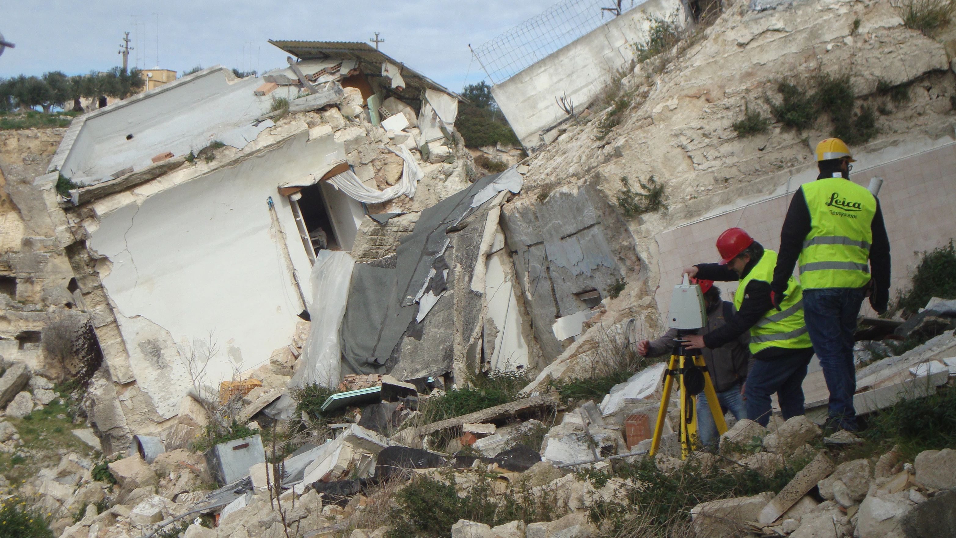
Read More

Our Services

3D Laser Scanner Surveys: Precision and Reliability at Your Service

3D Laser Scanner Surveys: Precision and Reliability at Your Service

Transform physical spaces into detailed 3D models with our laser scanner surveys. Ideal for architecture, engineering, archaeology, and much more.

Topographic Surveys: Precision and Expertise at Your Service

Topographic Surveys: Precision and Expertise at Your Service

Custom topographic surveys for every need. From land mapping to planimetric and altimetric surveys, we offer comprehensive solutions for professionals and individuals.

Drone Surveys: Aerial Images for Professional Projects

Drone Surveys: Aerial Images for Professional Projects

High-quality aerial photos and videos for topographic surveys, inspections, and documentation. Accurate 3D models and georeferenced orthophotos. ENAC-certified pilot. Customized solutions for every need.

Advanced Photogrammetry: High-Quality 3D Models with Sophisticated Software

Advanced Photogrammetry: High-Quality 3D Models with Sophisticated Software

Our experts use cutting-edge software to create photorealistic 3D models from images. Customized solutions for architecture, engineering, and research.

BIM and 3D Modeling: Design the Future with Archimeter

BIM and 3D Modeling: Design the Future with Archimeter

Detailed BIM models from 3D laser scanner surveys. Optimize your projects, reduce costs, and improve team collaboration. Customized solutions for construction, architecture, and engineering.

Immersive Virtual Tours: Promote Your Business Online

Immersive Virtual Tours: Promote Your Business Online

Create engaging 360° virtual tours to showcase your spaces effectively. Ideal for promoting properties, museums, hotels, and more. Boost your online engagement and attract new clients.

Latest Projects

Loading in progress...

Our clients

Loading in progress...