
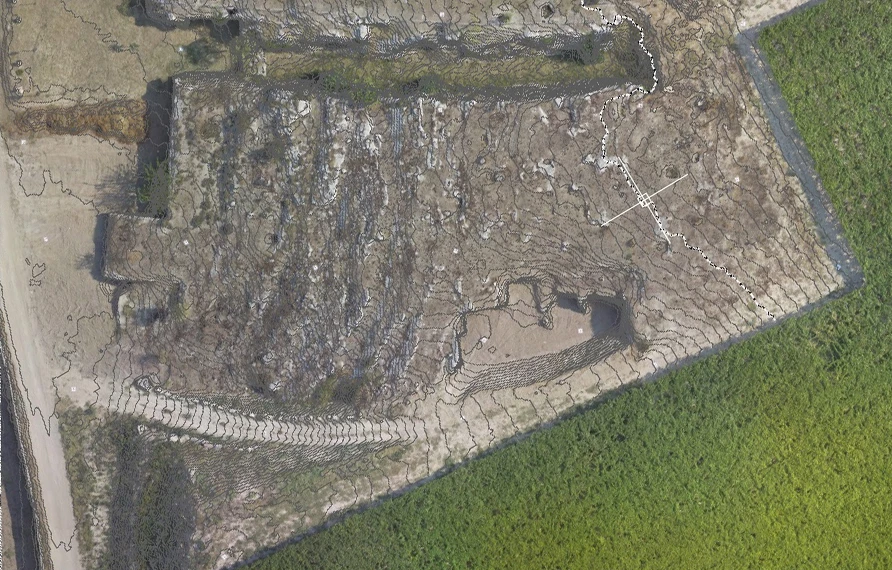
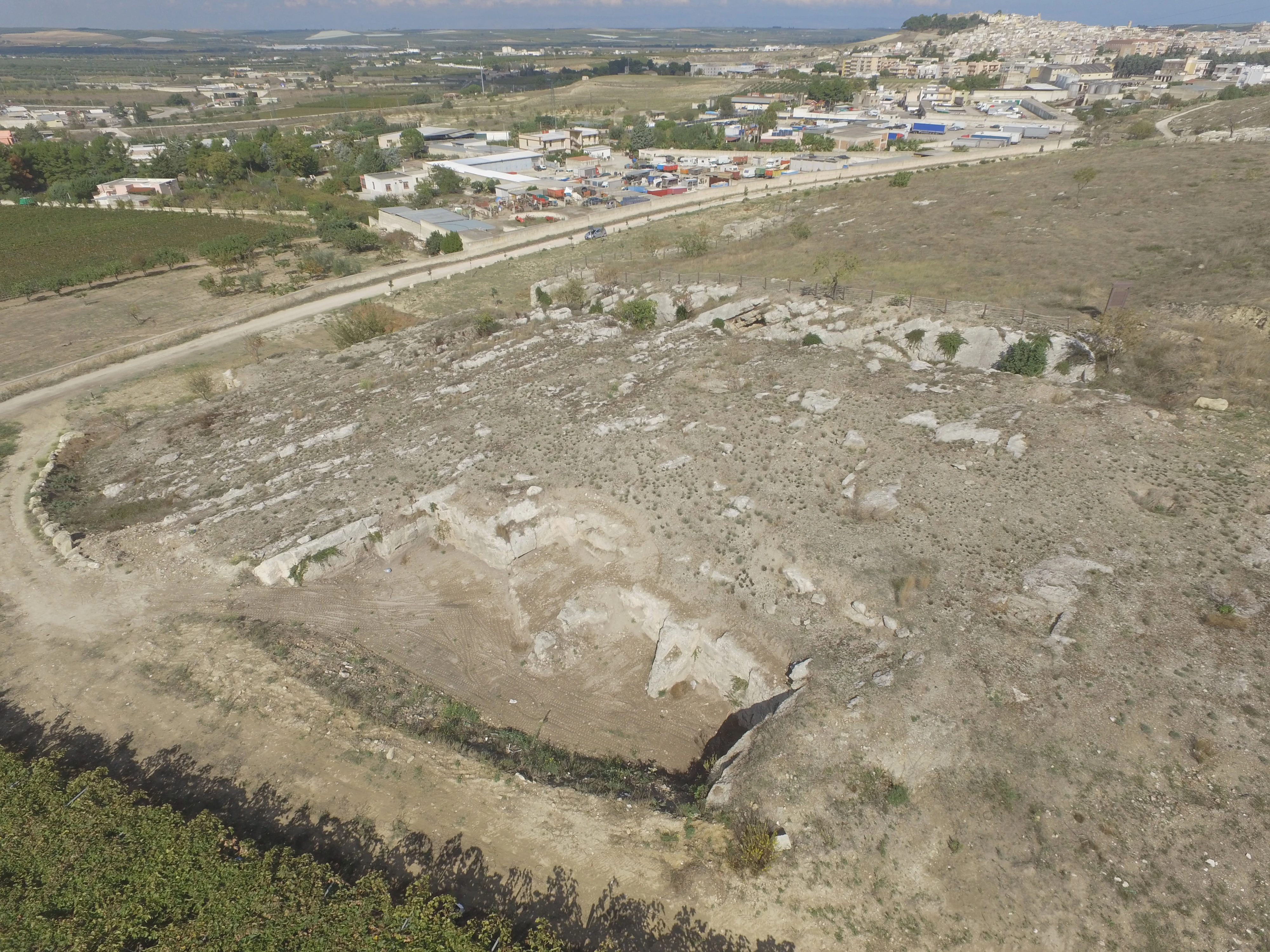
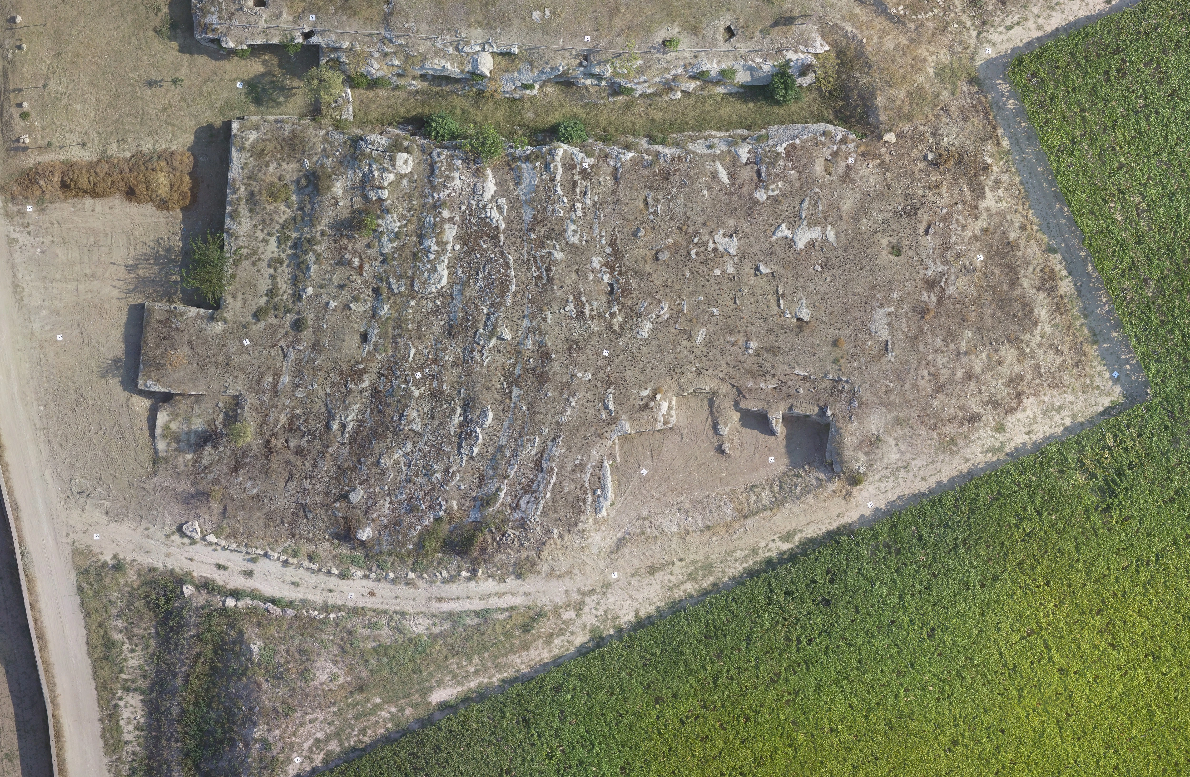
Aerial photogrammetric survey for naturalistic design of a quarry
Archimeter carried out the aerial photogrammetric survey of a quarry with the aid of drones.
The goal is naturalistic design and environmental mitigation.
The drone photographic acquisitions were planned by placing markers on the ground, detected with GPS for georeferencing.
Subsequently, Archimeter technicians created a 3D model starting from the images obtained from drones, thanks to which contour lines and orthophotos with geographical coordinates were created.

