


Archimeter S.r.l. operates in the field of architectural surveys, archaeological surveys, structural surveys, geological and environmental surveys, to obtain technical and advertising drawings for presentation, supporting professionals in the subsequent design phases
Passion, research, and attention to details, combined with the most innovative technologies for instrumental surveying and graphic data processing, ensure added value to Archimeter’s renderings, both in content and graphic presentation
To our clients, both public and private entities, we offer a wide range of services suitable to meet every need
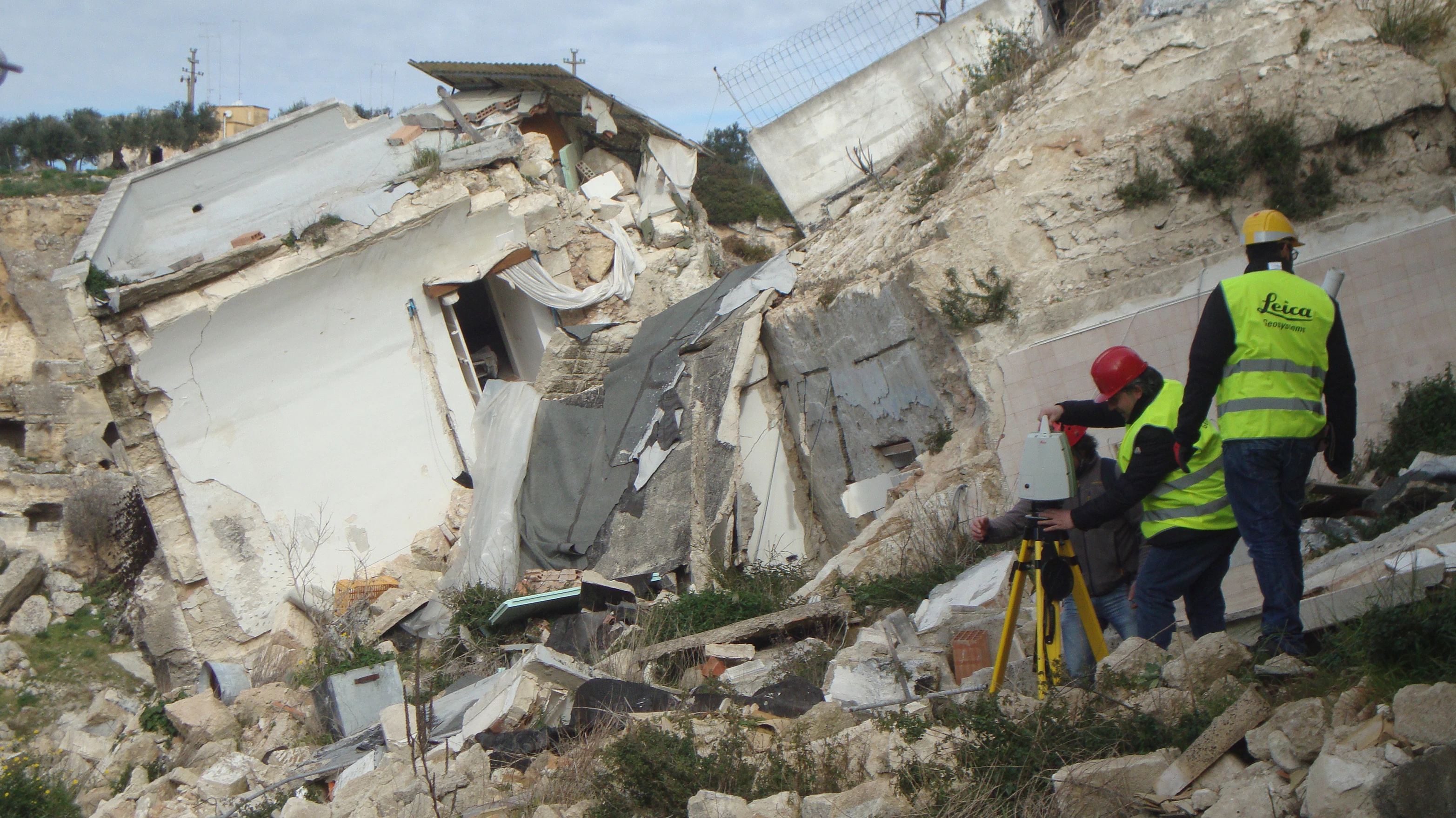
Read More3D laser scanners are the answer to the primary needs of the survey, such as documentation, archiving, knowledge and protection of cultural heritage and each artifact
Archimeter performs altimetric surveys, stakings, levellings, quoted plans and land partition surveys with the aid of GPS and Total Station and topographic software
Archimeter professionals have decades of experience in piloting ENAC certified drones for aerial photos, videos, photogrammetric and topographic survey
Photogrammetry is used to obtain information about physical objects and the environment through the process of recording, interpreting and measuring photographs
Archimeter can provide various solutions for processing 3D models of archaeological complexes, buildings, ancient finds and archaeological stratigraphy
Upon delivery, Archimeter provides the graphical rendering with a virtual tour of the building and/or of the site surveyed: a tool of undoubted utility from various points of view