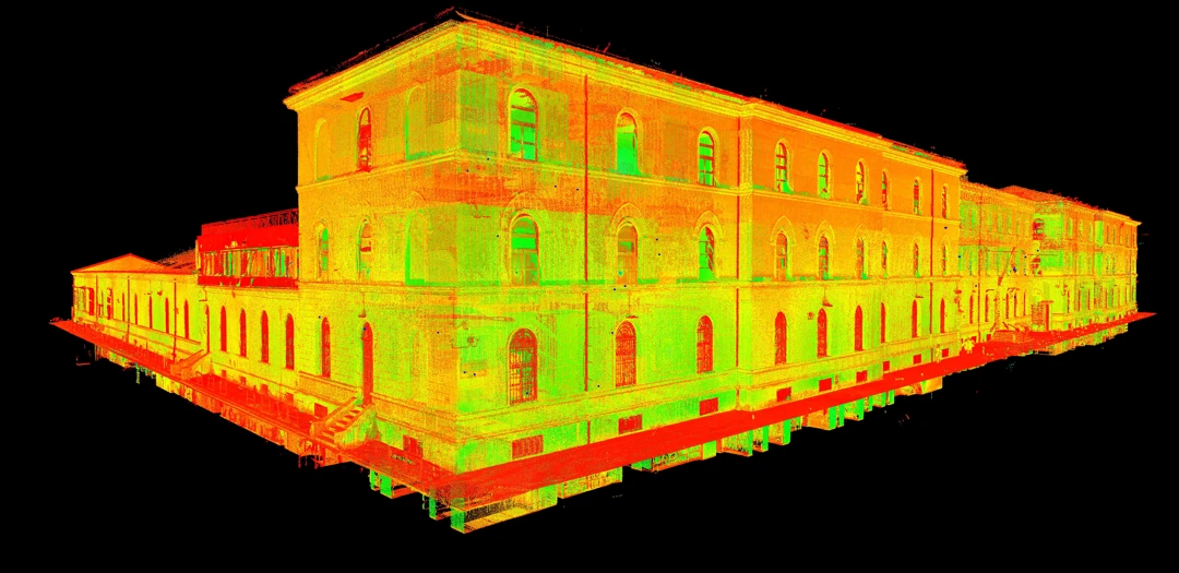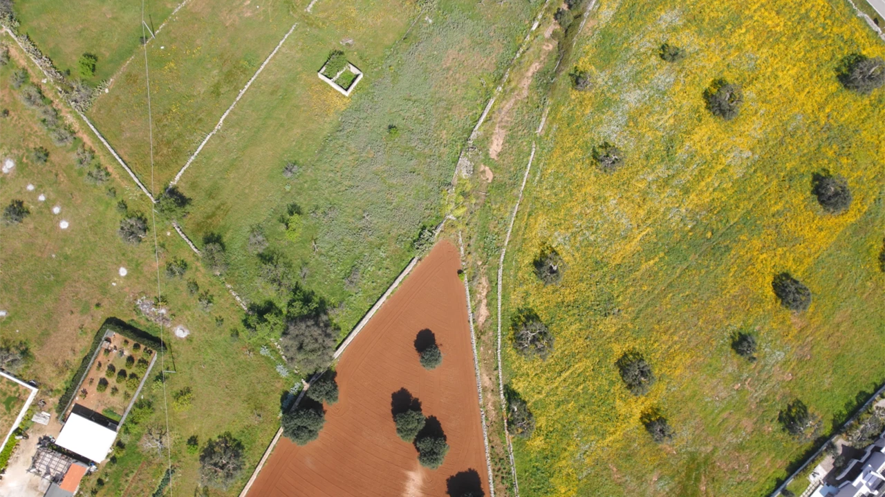
Drone Surveys
The opportunity to capture aerial video and photographic footage has always been highly sought after in various sectors, including topography, archaeology, environment, and infrastructure. In recent years, the introduction of drones in the field of topography has brought significant advantages in data acquisition for surveys. This includes surveying vast areas of land, creating point clouds to integrate with laser scanner surveys, producing elevation plans or building coverages, and generating orthophotos of archaeological sites.
At Archimeter, we have professionals with extensive and specific experience in drone piloting for capturing photographs, producing videos, and utilizing the imagery for aerial photogrammetric and topographic processing. All our pilots are adequately insured and certified according to ENAC regulations.
Choosing Archimeter for your drone surveys means relying on a team of professionals experienced in drone usage and geospatial data management. We are capable of handling projects of any size and complexity, ensuring high-quality results and fast delivery times.
Contact us today to discuss your drone survey needs. We are ready to offer personalized solutions and precise results that will exceed your expectations.
With Archimeter, you can rely on reliable and superior-quality drone surveys that provide a detailed view of your environment.
Latest Projects
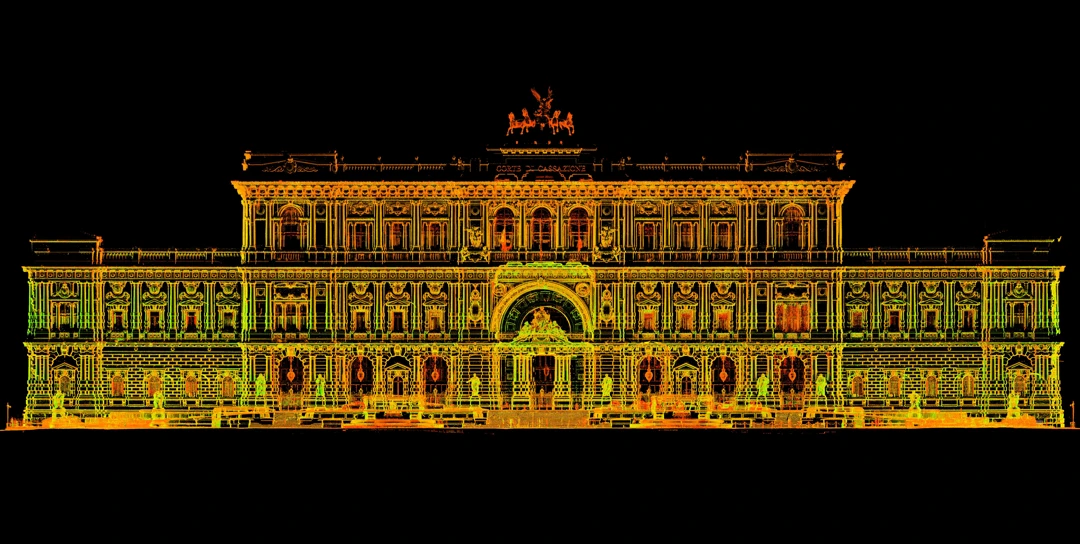
Supreme Court of Cassation in Rome
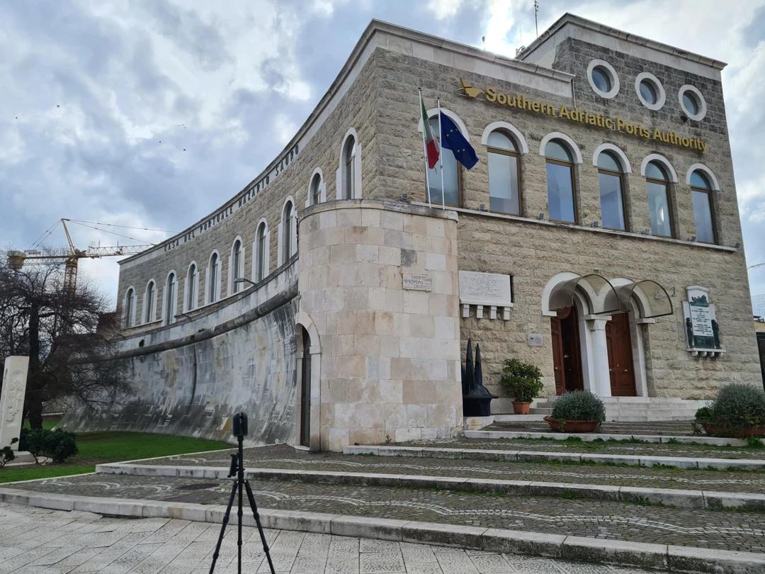
The building of the Palazzo dell'Autorità Portuale in Bari
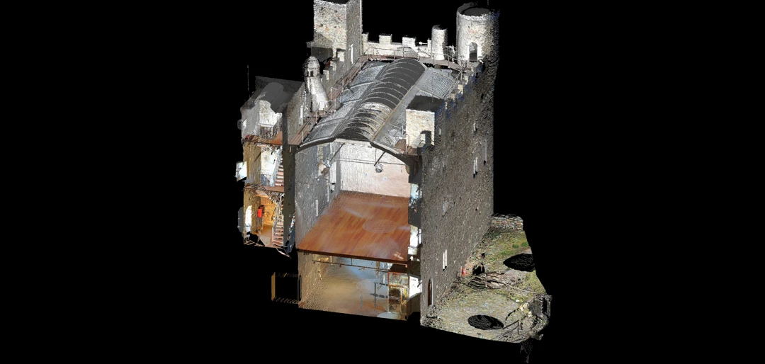
3D laser scanner survey of Ussel Castle
