Photogrammetry
In geomatics, the discipline that deals with acquiring, modeling, analyzing, processing, storing, and disseminating georeferenced information, the term photogrammetry refers to a survey technique that provides important information about physical objects and the environment through the process of recording, interpreting, and measuring photographic images.
Photogrammetry plays an undisputed role as a modern and rigorous survey technique in the field of architecture and cultural heritage. It offers numerous and flexible possibilities for data acquisition, processing procedures, and the obtainable final products. Its flexibility is one of the characteristics that have contributed to its success in this field, which can be complex due to the wide variety of cases and issues. Furthermore, image acquisition is rapid, does not require direct contact with the object, and can be done even with medium-low-cost cameras.
Our photogrammetry experts use sophisticated software and algorithms to ensure high-quality results. With their expertise and experience, we can provide accurate and detailed 3D models to meet our clients' specific needs.
Choosing Archimeter for your photogrammetry services means getting a combination of technical expertise, attention to detail, and quality results. Our priority is to meet your specific needs and provide you with three-dimensional models that accurately reflect the objects and environments you want to represent.
Contact us today to discover how photogrammetry can be a valuable asset for your industry. We are ready to offer tailor-made solutions, providing high-quality results that will exceed your expectations.
Latest Projects
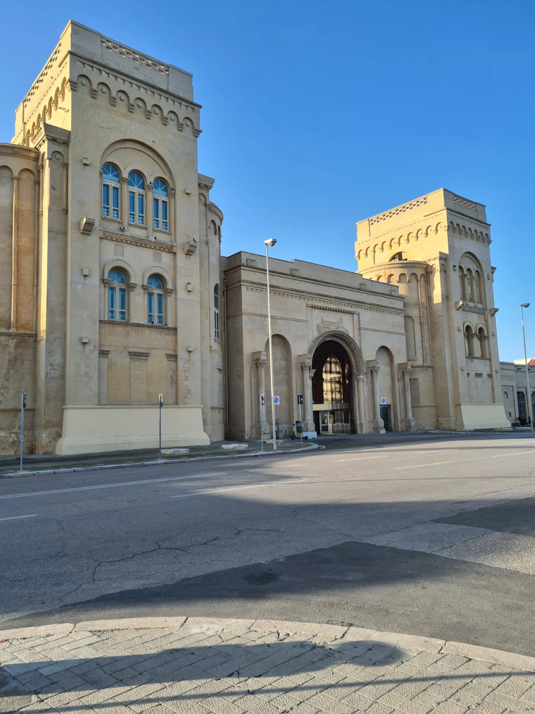
Bari's Fiera del Levante
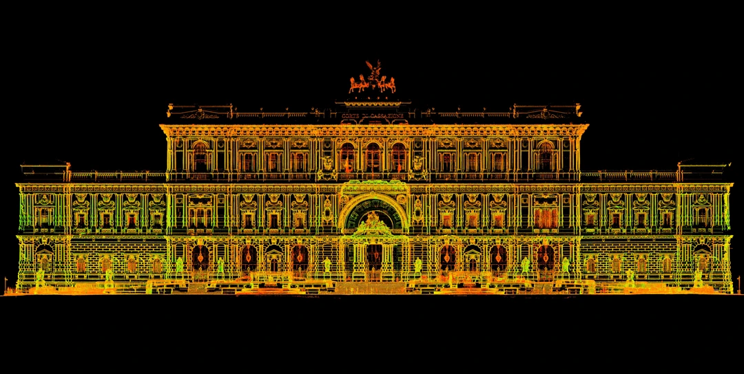
Supreme Court of Cassation in Rome
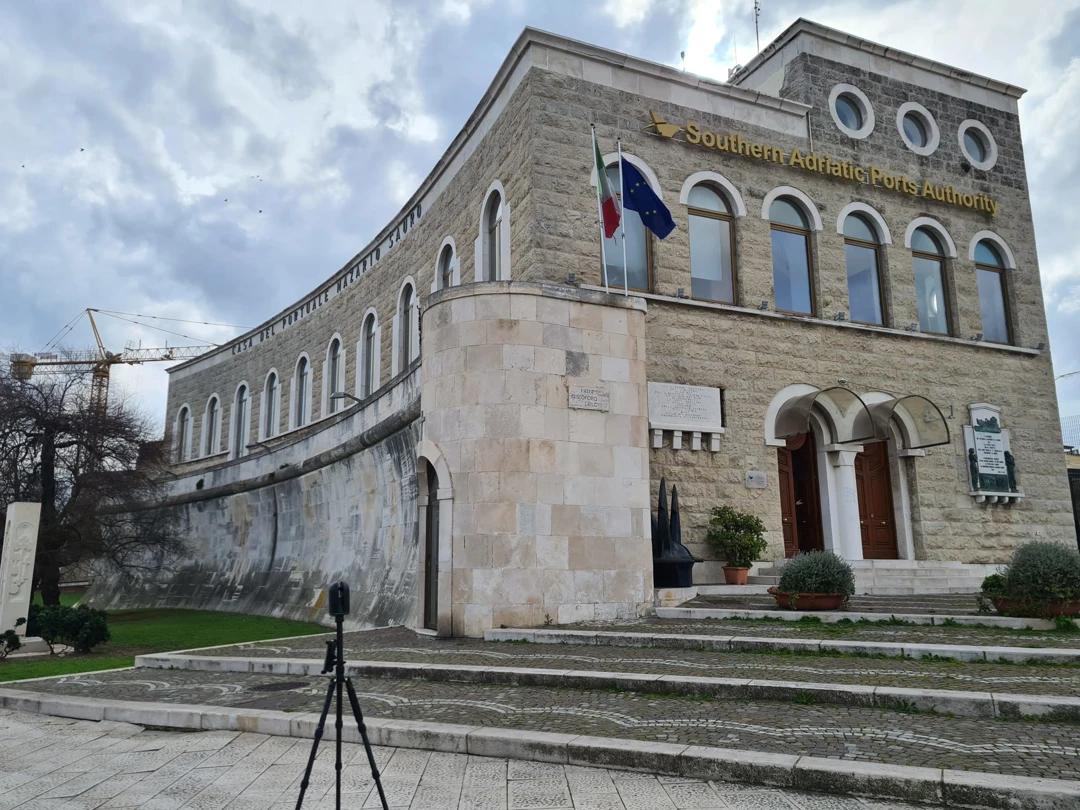
The building of the Palazzo dell'Autorità Portuale in Bari
