Topographical Surveys
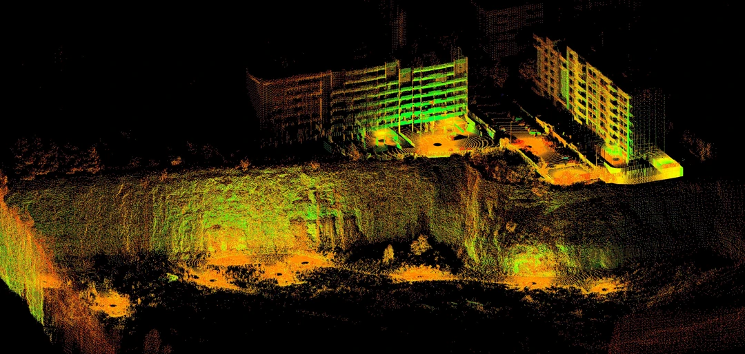
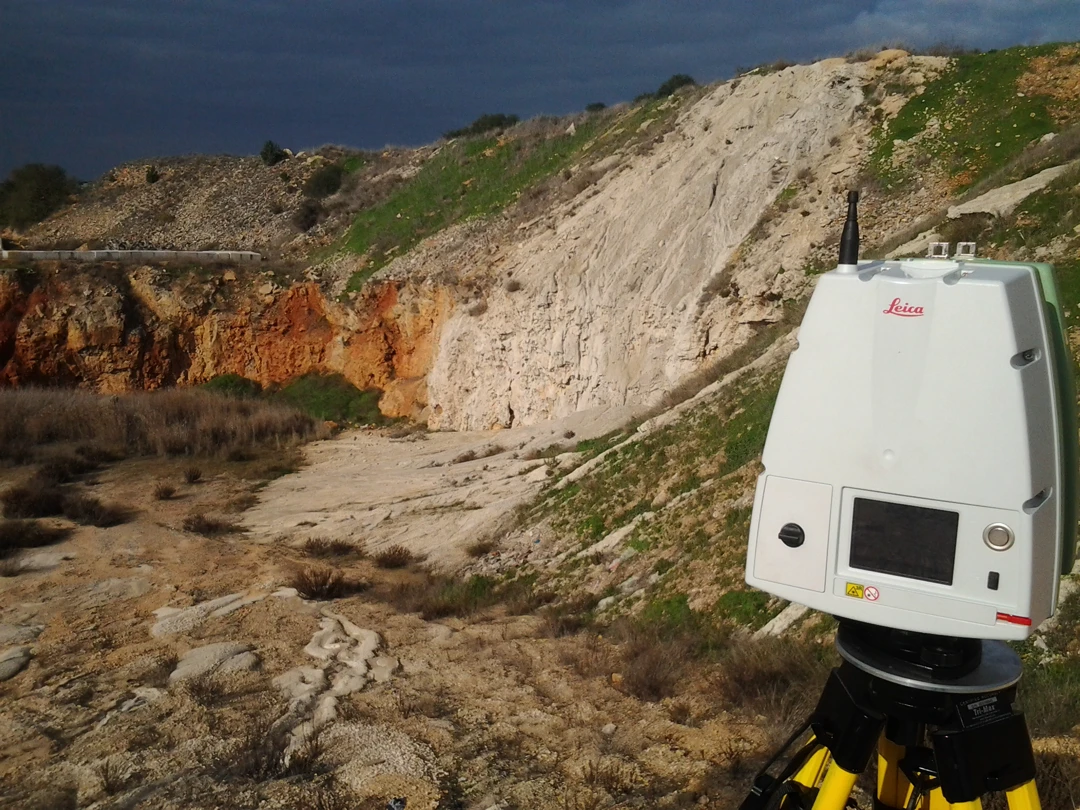
Technologies are evolving rapidly, but it is essential to contextualize them to achieve effective objectives. 3D laser scanner surveys and aerial photogrammetric surveys with drones can be fascinating with their point clouds, but without the proper use of topographic techniques, there is often a risk of obtaining incorrect results.
The technicians at Archimeter always adopt a critical approach to ensure the success of surveys. We use precisely calibrated topographic techniques and instruments to certify the acquired data and minimize errors.
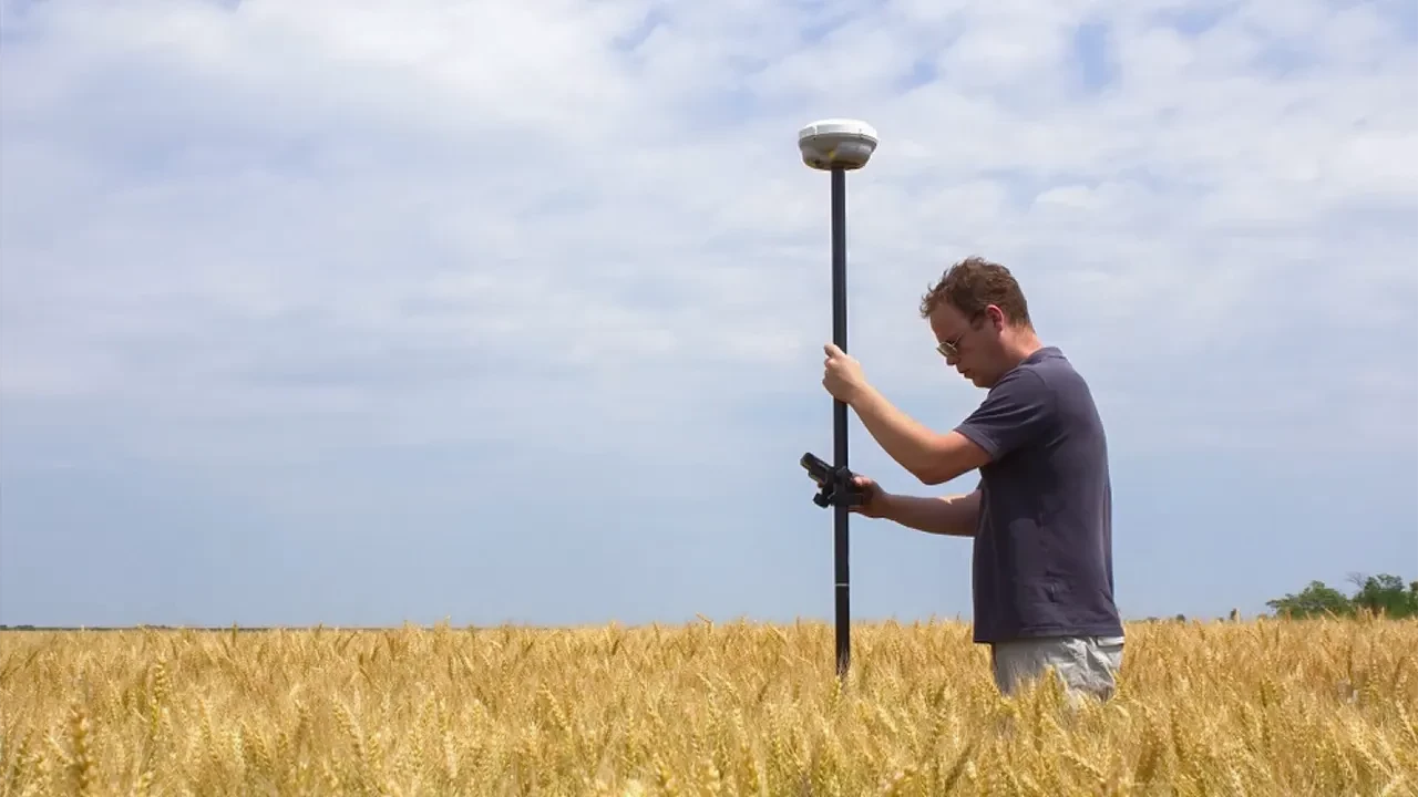
In addition to georeferencing point clouds from scanners and drones through topographic polygons, we offer planimetric-altimetric surveys with the aid of GPS and Total Station, stakeouts, leveling, contour plans, and land partitioning.
Choosing Archimeter for your topographic surveys means relying on a team of professionals with experience in the field. We are ready to take on projects of any size and complexity, offering accurate results and fast delivery times.
Contact us today to discuss your topographic survey needs. We are ready to offer customized solutions that meet your specific requirements.
With Archimeter, you can rely on high-quality topographic surveys that will provide a clear view of the terrain and its details.
Latest Projects
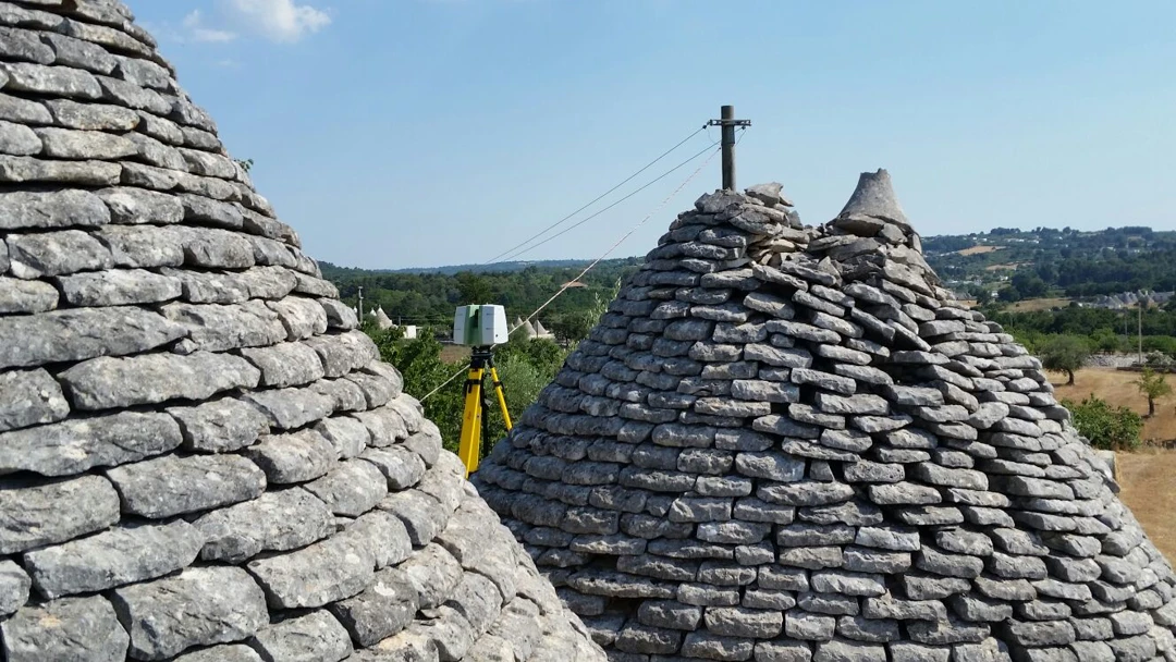
Trulli complex - Ostuni
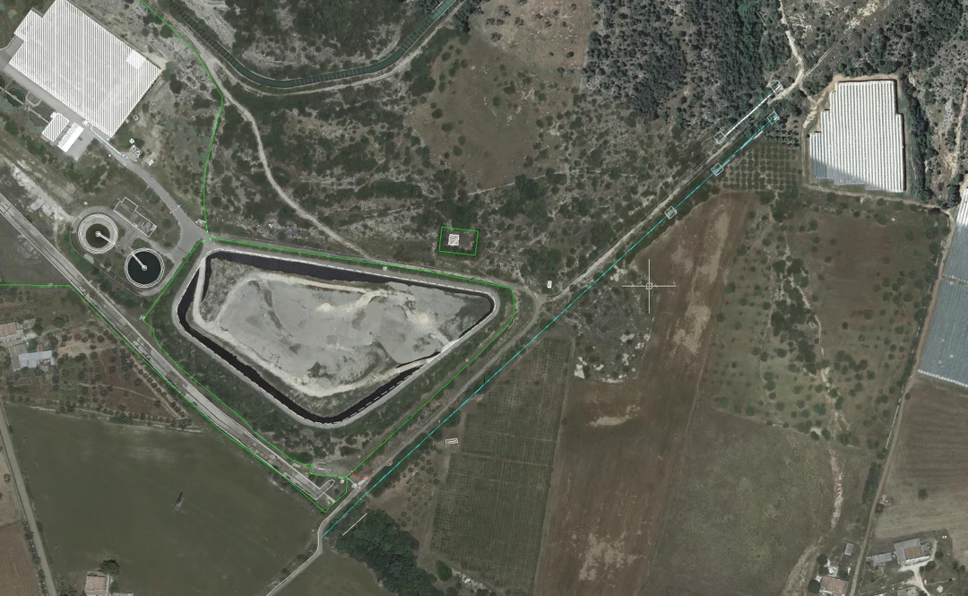
Topographic surveys Acquedotto Pugliese (AQP) facilities
