
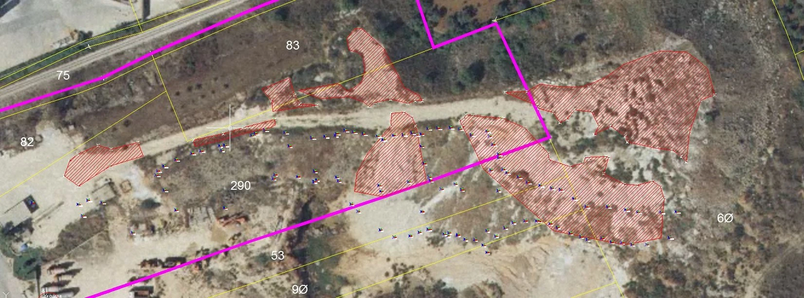
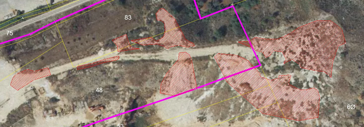
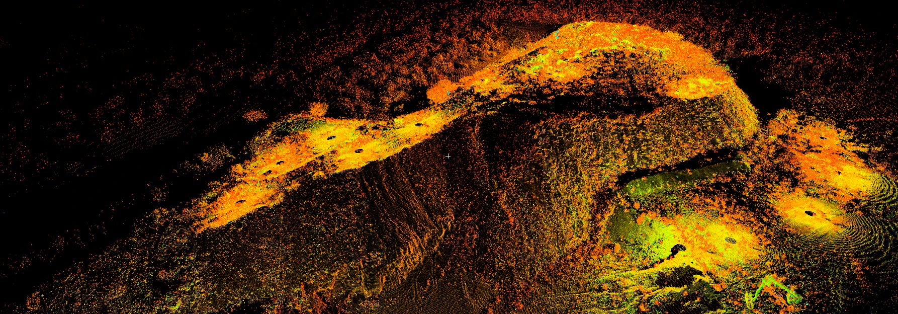
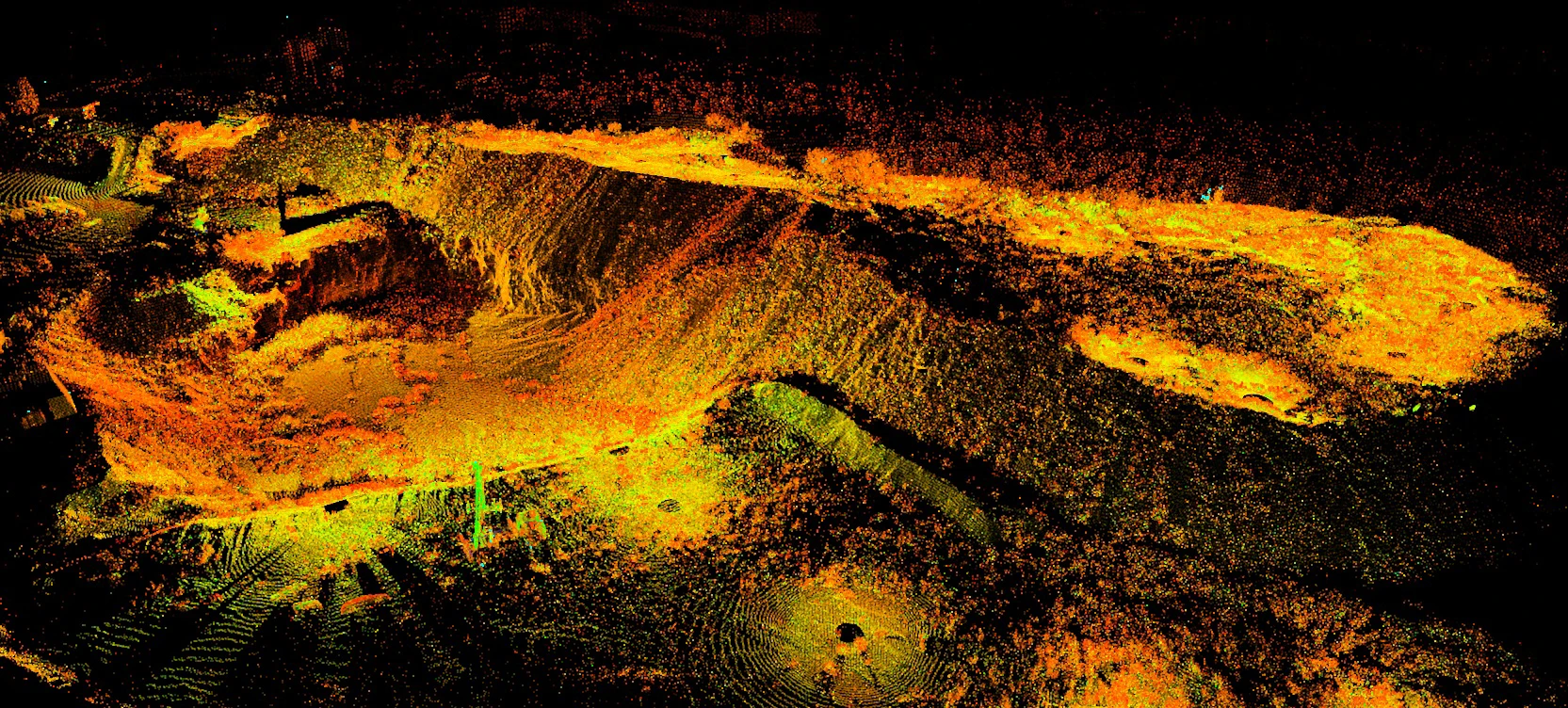
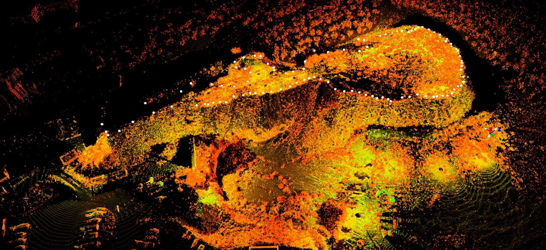
Topographic and 3D laser scanner survey of a quarry
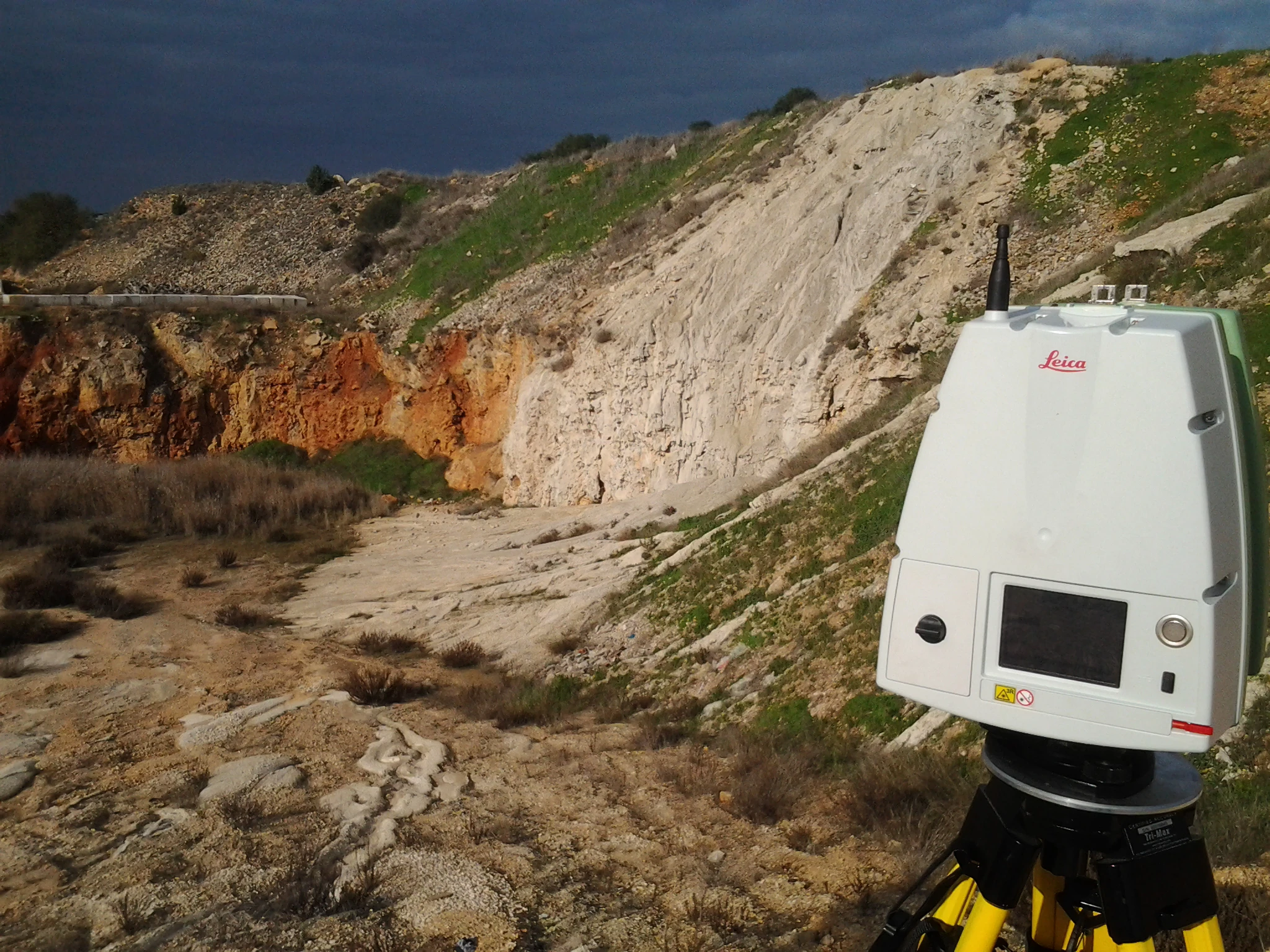
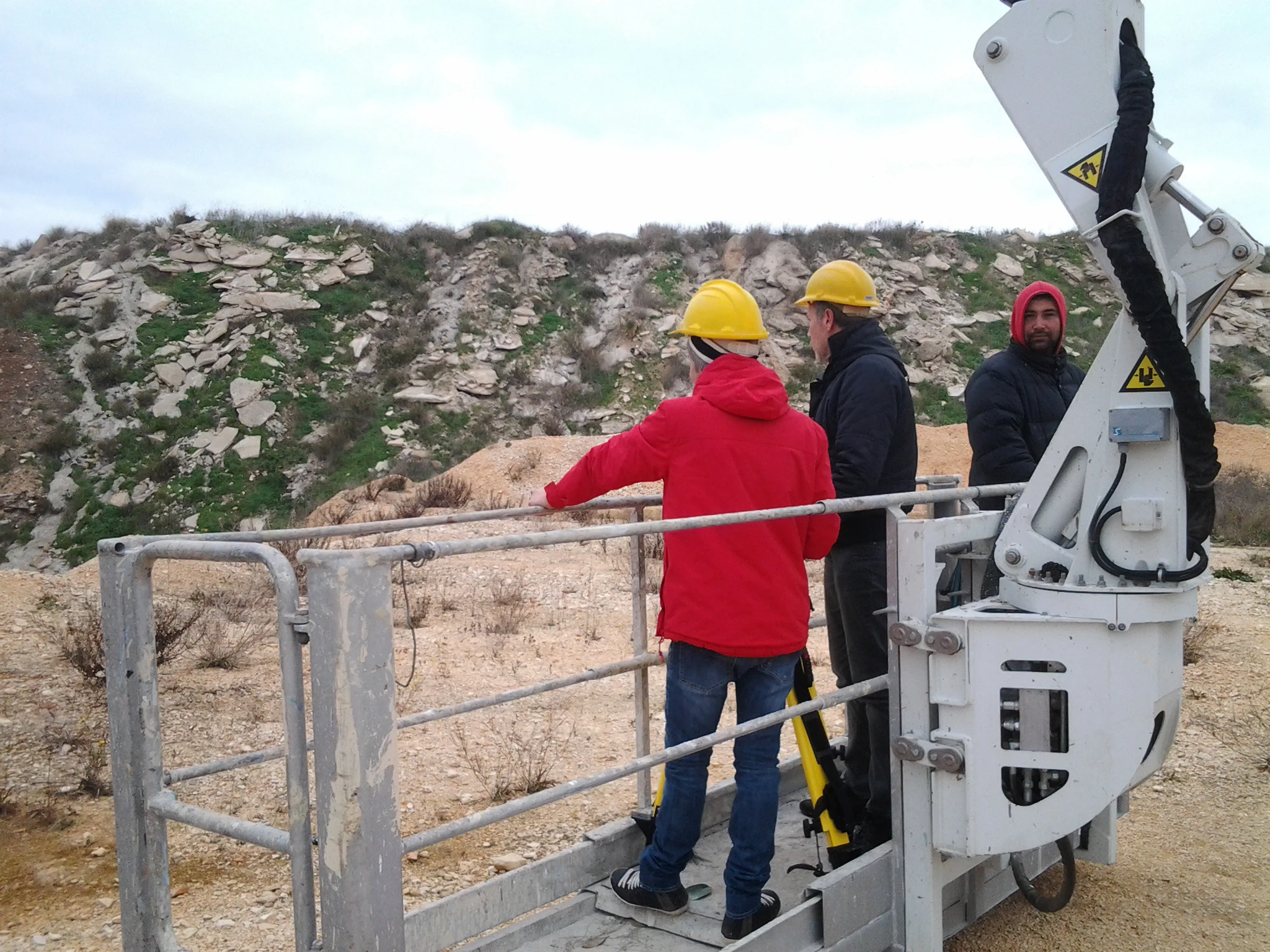
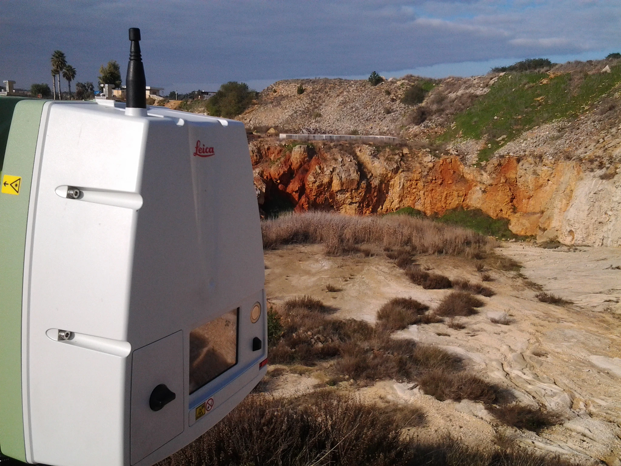
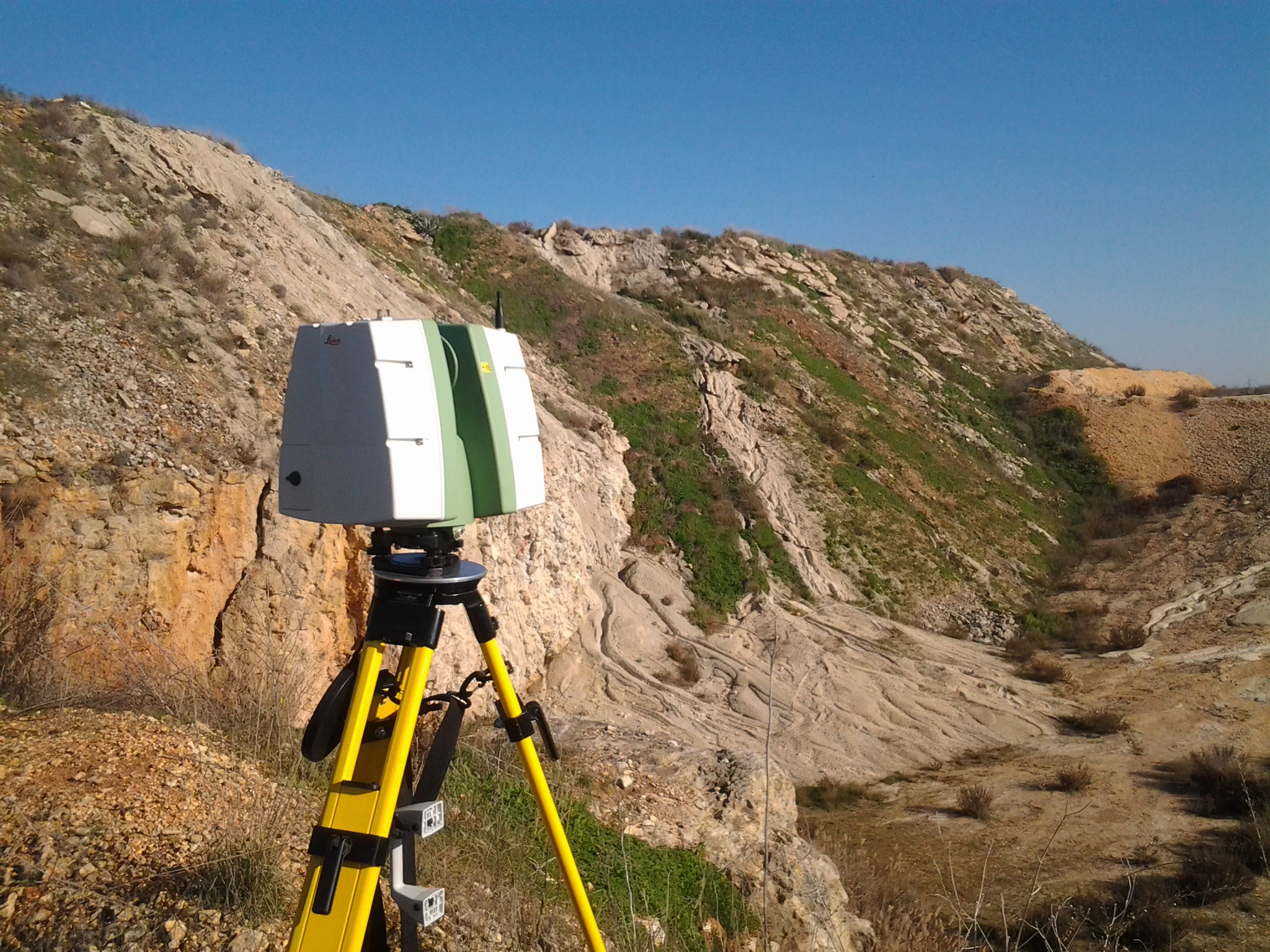
Archimeter provides 3D laser scanner survey services for conducting volumetric calculations of quarries.
With the use of 3D laser scanner technology, detailed three-dimensional data of the entire quarry can be captured, allowing for precise calculations of extracted or to-be-extracted material volumes.
Additionally, concurrently with the 3D laser scanner survey, a plano-altimetric topographic survey is conducted using GNSS instrumentation to obtain accurate geographic coordinate information.
Trust in the expertise of Archimeter to obtain accurate and reliable surveys for quarry volumetric calculations.


