3D Laser Scanner Surveys
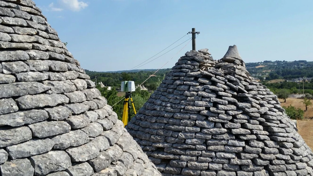
The evolution of ideas and concepts has contributed to the progress of technologies and instruments for topographic and photogrammetric surveys in recent years. In particular, new survey techniques based on 3D laser scanners have emerged.
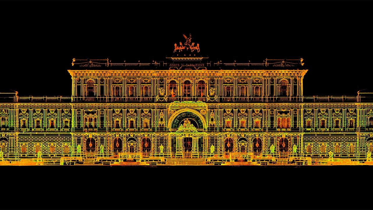
Today, 3D laser scanners represent a solid solution for fundamental survey needs such as documentation, archiving, knowledge, and preservation of cultural heritage. Thanks to their high precision and versatility, they offer scientific and high-quality surveys, providing objective documentation of the surveyed space. Moreover, they enable a faithful virtual reproduction of the object through the integration of modern survey techniques with three-dimensional modeling, including the integration of geometric and photographic information to represent the object's surface appearance, including color information.
The fields of application for 3D laser scanners are numerous and include architecture, archaeology, environmental geology, infrastructure and plant engineering, as well as nautical and forensic science.
Archimeter has technicians with decades of experience in the field, as well as up-to-date instruments and software to meet clients' demands.
Choose Archimeter for your 3D laser scanner surveys, and you will have reliable and detailed data that will allow you to make informed decisions and optimize your projects. Our experience in the field enables us to handle projects of any size and complexity, ensuring superior quality results.
Contact us today to discuss your 3D laser scanner survey needs. We are ready to offer tailor-made solutions and high-quality results that will exceed your expectations.
With Archimeter, you can rely on precise and reliable 3D laser scanner surveys.
Latest Projects
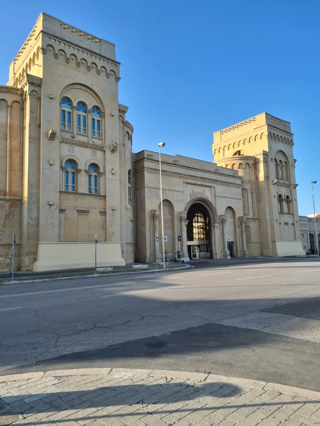
Bari's Fiera del Levante
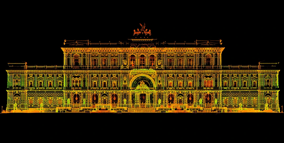
Supreme Court of Cassation in Rome
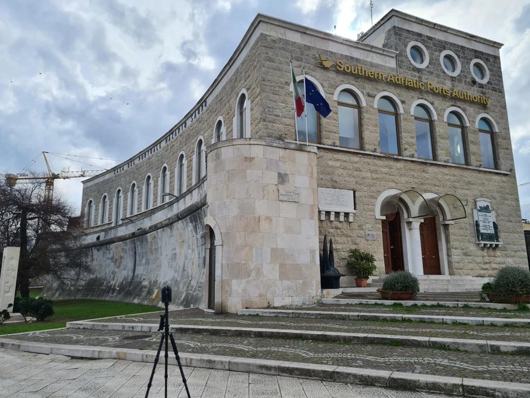
The building of the Palazzo dell'Autorità Portuale in Bari
