
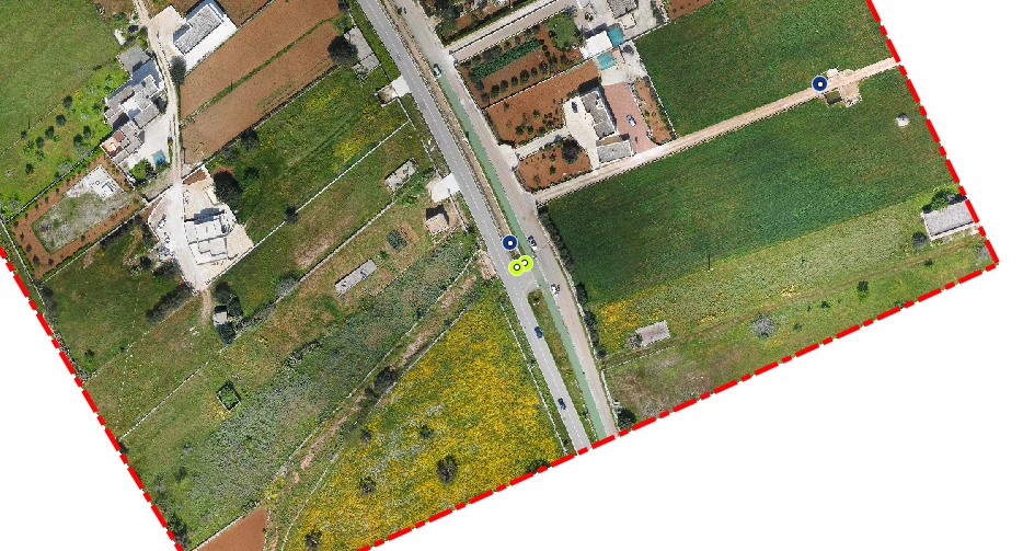
Terrain aerial photogrammetric survey
For the hydrogeological study of a portion of land of about 20 hectares close to the coast, the technicians of Archimeter carried out aerial photogrammetric surveys with the aid of drones for the creation of a 3D model of the entire portion of the territory under investigation and the related creations of drawings such as level curves, DTM, DSM.

